from walking | STEEL END
(Select image to view a selection from the series and then the rest of this page for details on the series and, how to purchase the accompanying Limited Edition Artist book)
STEEL END
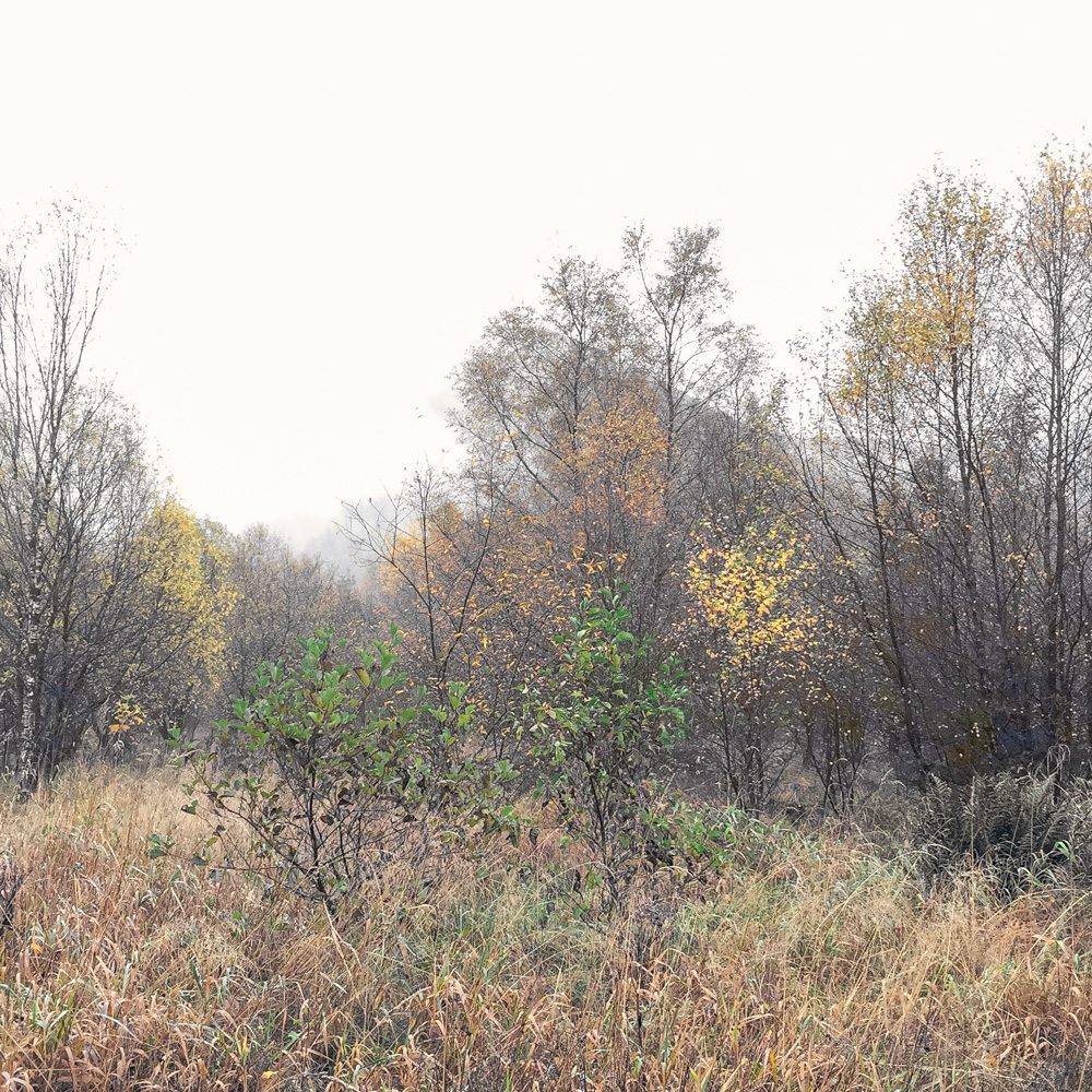
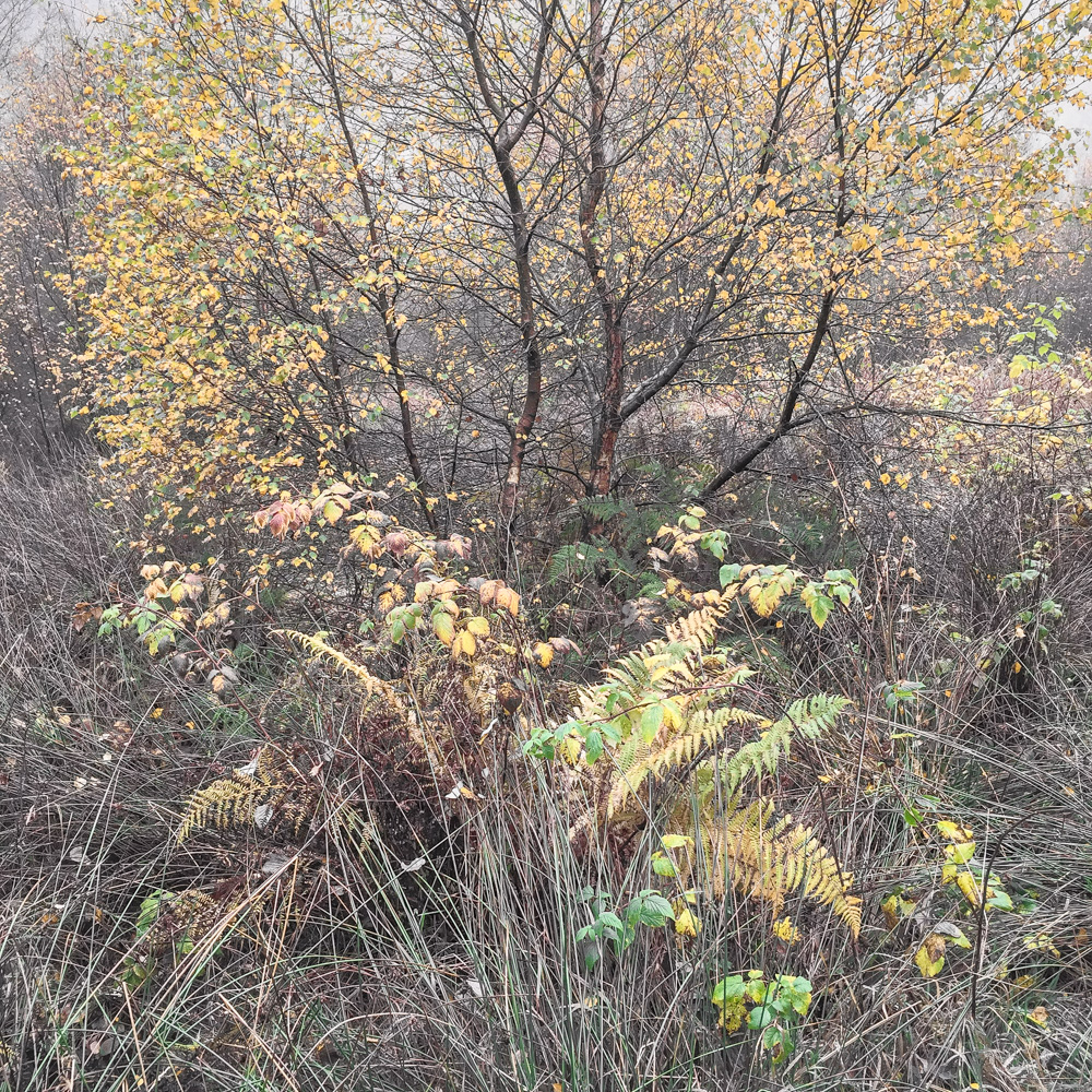
Steel End is a remnant of the much larger, now flooded, settlement of Wythburn within the Thirlmere valley in Cumbria. It sits at the base of the northern spur ridge of Steel Fell in the modern parish of Castlerigg, St Johns and Wythburn.
Etymology of place-name “Steel End”:
Steelle End 1570
Stele end 1586
Stillend 1610
Taken from topographical relationship to “Steel Fell”:
Scottish Border word “steel”, used in place names for the spur of a mountain, that derives from the Old English “stigol”, the reflex of a related work “staegel”, ‘steep’.
Middle English word Fell, a hill or stretch of high moorland, especially in northern England.
Old English Ende, End, the furthest or most extreme part of something.
HISTORICAL NOTES
In the mid nineteenth century the Thirlmere valley bore no resemblance to its appearance today. Two small tarns, Leathes’ Water and Wythburn Water, sat in the bottom of the valley connected by a stream with a small causeway bridge running over it. The hamlet of Armboth, as well as a number of other homes, farmsteads and even a pub were dotted about the valley floor.
However, the Industrial Revolution in Manchester was creating a demand for more water in the suburbs and factories of the cities; this led to a search for good water sources. The search ended in Thirlmere and following an Act of Parliament, work began on both a dam at the north end, to stop the water flowing out of St Johns Beck to Keswick, and a 96 mile aqueduct to carry the water to Manchester. Resulting in a rise of the water level by 54ft (16.5m). This aqueduct was connected up for the first time in 1894.
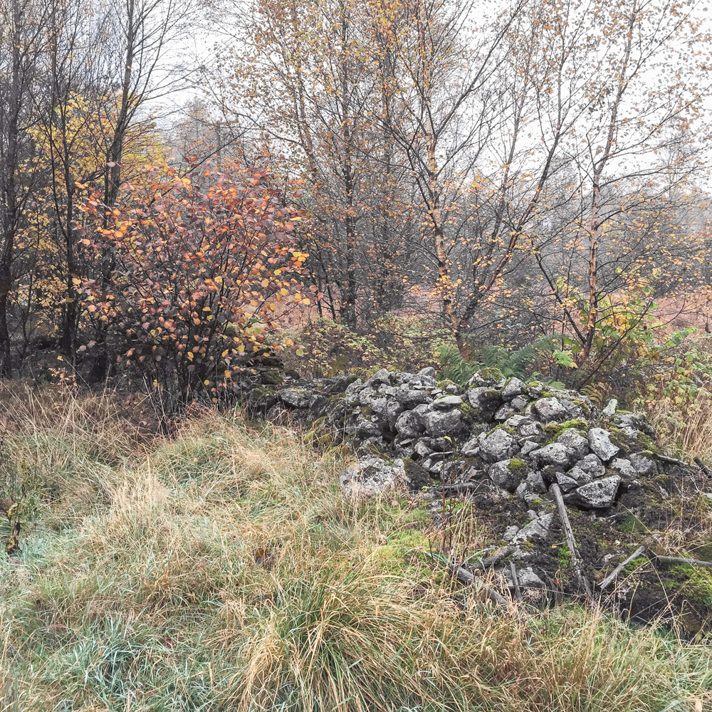
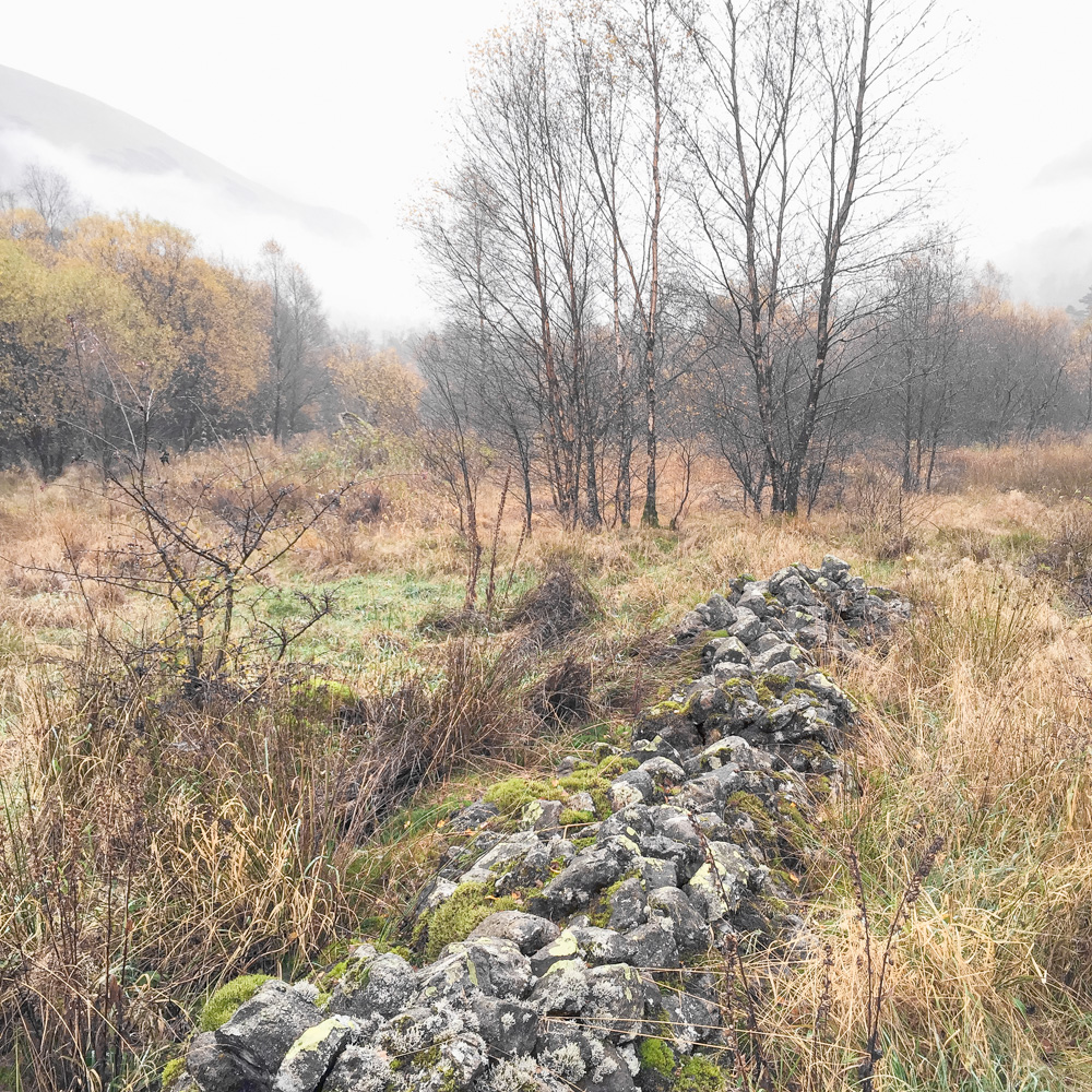
Consequently, homes and farms were knocked down and the population was gradually reduced so that now only the hamlet of Steel End, Dalehead Hall and Wythburn Church remains.
Thirlmere is a glacial valley, with good water catchment fells either side and streams running down into the valley bottom. With one notable water course entering the southern end of Thirlmere; Wyth Burn, from which Wythburn Water took its name. Note the use of the Scottish ‘Burn’ in the name as opposed to the more common ‘Beck’.
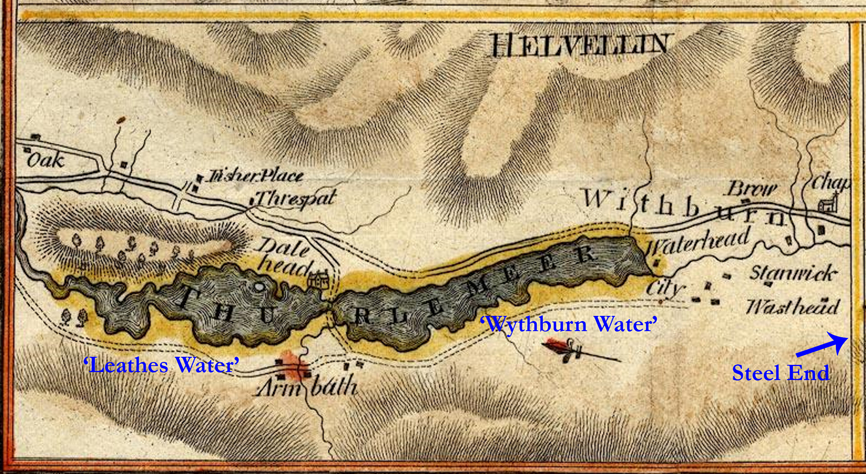
c.1800 map showing the area of Wythburn before the flooding took place
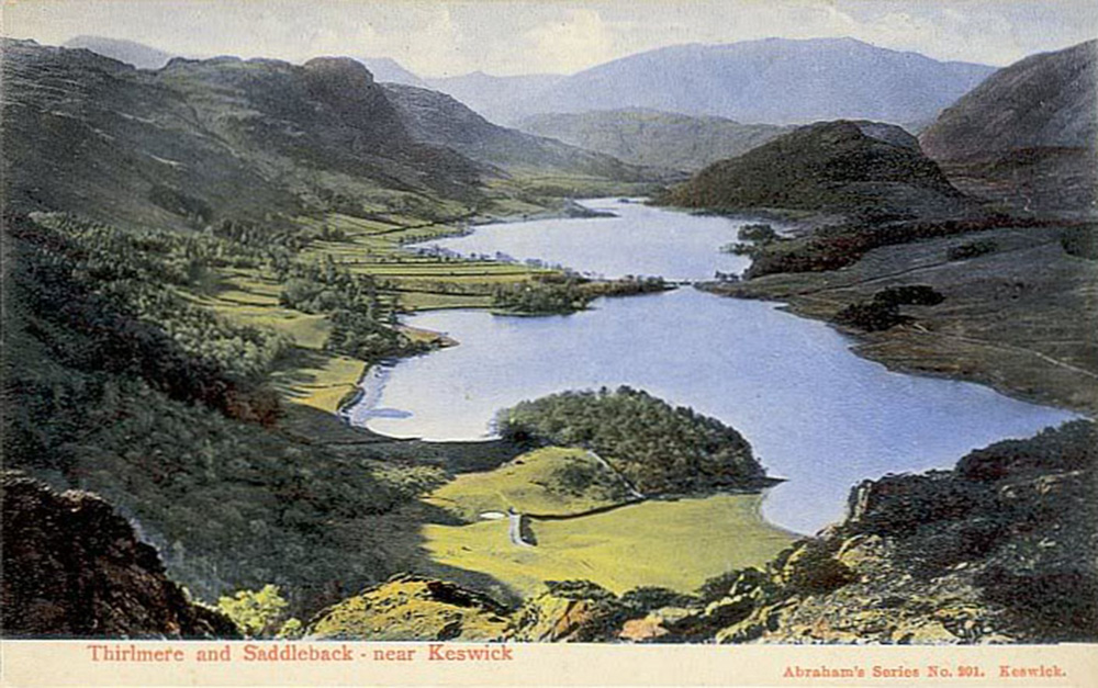
Abraham’s series No. 201 postcard with Wythburn Water in the foreground and therefore Steel End out of site below the bottom right hand outcrop. (Copyright: Sue Steinberg copyright holder of the Abraham’s estate)

Photograph of Thirlmere 1958 – author unknown (Taken from part way up Steel Fell, in the foreground we see the surviving hamlet of Steel End).
STEEL END is available from JW Editions as a limited edition of 5 handmade books featuring the images and words from the series
(Please note, book sold out on release)